send link to app
Map Measure by doodle app for iPhone and iPad
4.8 (
2128 ratings )
Utilities
Navigation
Developer: 忠 张
1.99 USD
Current version: 2.0, last update: 4 years agoFirst release : 01 Sep 2011
App size: 21.77 Mb
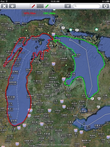
Draw a line on the map, and the App tells you the length of the line.
Can be used to solve problems like:
- How far is the two buildings in the community?
- Which way to go to work is closer?
- Which route can run exactly 5 kilometers?
Features:
- Support for Apple Maps and Google Maps
- 4 different color pens for comparing 4 lines at the same time
- Support multiple length units
- Automatically identify and adjust GPS coordinates in the clipboard
Basic operation:
1. Position or move to the position to be measured
2. enter the drawing mode, select a color brush, draw the path
3. the App will automatically calculate the distance of the painted path on the map


